St. Mary
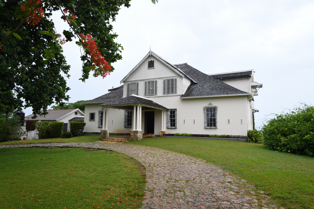
Prospect Great House, St. Mary.
PARISH HISTORY PROJECT: A HISTORY OF ST. MARY
Professor Veront Satchell
INTRODUCTION
- Naming of Parish
There is controversy concerning the origin and derivation of the name given this parish, St Mary. One school of thought is that it derived from Porto/Puerto Santa Maria [Anglicised Port Maria], the name given by the Spanish to today’s Port Maria. Another is that it was derived from Maria/Mary, the name of Governor Sir Thomas Modyford’s daughter. It was during Modyford’s tenure that the precinct and later parish of St Mary was created. This latter is highly probable since the then neighbouring parish, St George, was so named after George Needham, Mary’s husband and son-in-law of Modyford”. Cundall, while agreeing that the name of the parish was derived from the port, Port Maria, also suggests that it might probably be derived from the name of the Santa Maria timber tree which was often used for making masts of ships.
- Location
The parish of St Mary, comprising an area of 610.5 sq. Kilometres or 235.7 sq. miles, is located in the north-eastern section of Jamaica, and is the fifth smallest parish in the island. The population in 2015 was 114,227 persons. The parish is currently bounded to the north by the sea, to the west by St Ann parish, east by the parish of Portland, south east by St Andrew and south west by St Catherine.
Long informs us that St. Mary was created a precinct in 1662 and a parish in 1664. There is no doubt that St Mary was a precinct in 1662 since in his Views of the Conditions of Jamaica, in 1664, Modyford referred to St. George as “part of the precinct of St. Mary.” There is, however, some confusion here since St George was listed as one in the original districts created by D’Oyley. Bloome’s 1671 map, however, confirms the precinct status of ‘Saint Maries’ [Mary’s], with Porto Maria as its chief town. An Act of 1677 identified St Mary as a parish. The representatives for the parish sitting in the House of Assembly were Charles Atkinson and Thomas Trapham. The 1684 Act of the Legislative Council confirmed St Mary as one of the fifteen parishes in the island. It is therefore taken that St Mary was named a parish of the island somewhere around 1677.
The parish, according to Long, was, bounded “ at that time on the East by St. George; West, by St. Anne; South by St. Thomas in the Vale, and a part of St. Andrew; and North, by the . . . sea . . . which separates Cuba from this island.” The boundaries of this parish have suffered changes twice between 1677 and 1867. The first change was in 1841 when Metcalfe parish was eked out of its eastern section, and the second was in 1867 when Sir John Peter Grant, in an effort to create a more efficient administrative system of government, reduced the number of parishes in the island from 22 to 14. Metcalfe was one of those that was abolished and once again formed part of St Mary.
