St. Elizabeth

THE HISTORY OF THE PARISH OF ST ELIZABETH
BY DR JENNY JEMMOTT
INTRODUCTION AND OVERVIEW OF ST ELIZABETH
St Elizabeth is one of Jamaica’s oldest parishes, having been among the second group of parishes which were in existence by 1671, following closely on the first batch which had been created by the Jamaican Assembly in 1664. The 1664 pioneering parishes were St Thomas, St David, St Andrew, St John, Clarendon, Port Royal and St Catherine. A 1671 Map of Jamaica, produced as a result of a survey of the island ordered by Governor Sir Thomas Modyford, showed St Elizabeth to be among the second group, which also included St George, St Mary, St Ann and St James. Before 1703, St Elizabeth was extremely large, covering most of western Jamaica, including present-day Westmoreland. As will be seen in a later section, changes to the boundaries of the parish began in 1703 and ended in 1814, reducing St Elizabeth to its present size. Even with these reductions, St Elizabeth remains today as Jamaica’s second largest parish, with an area of 1,212.4 square kilometres behind St Ann, the largest parish, with an area of 1,212.6 square kilometres.
-
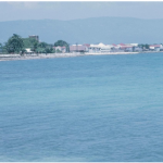
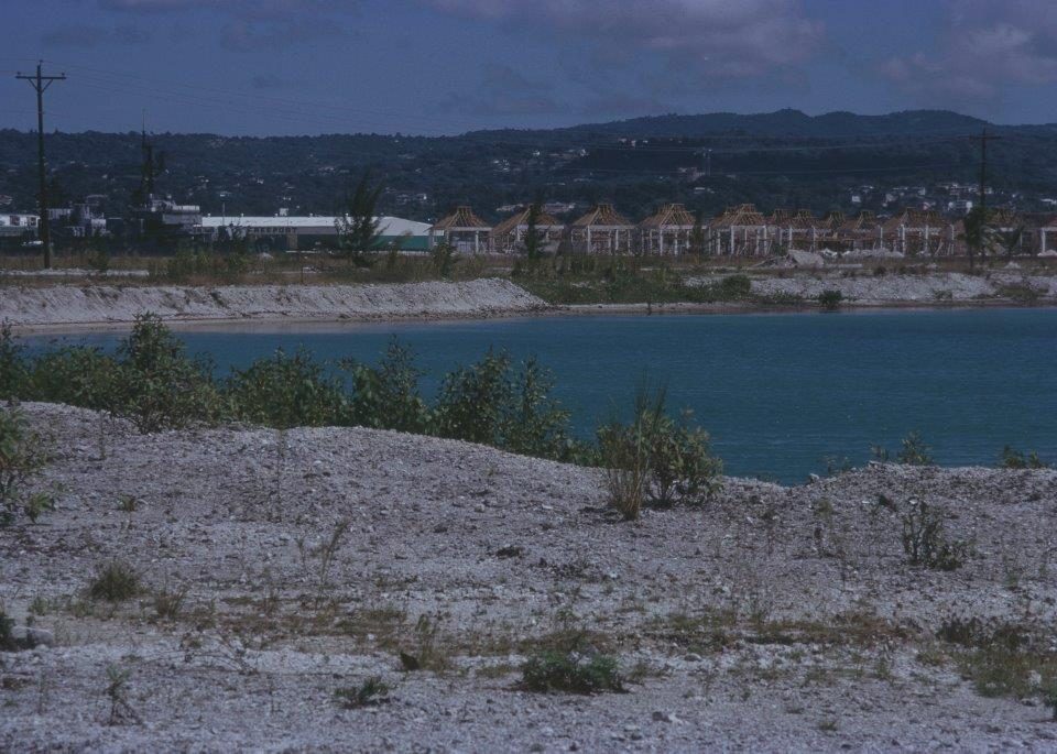
- Black River, Capital of St Elizabeth Courtesy of the National Library of Jamaica
-
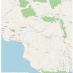
- Map of St Elizabeth, Jamaica Courtesy of @ OpenStreetMap contributors. This map data is available under the Open Database License. The cartography is licensed as CC By-SA.
Located in south-western Jamaica in the county of Cornwall, St Elizabeth is today bordered to the west by Westmoreland, to the east by Manchester, to the north by St James and Trelawny and to the south by the beautiful waters of the Caribbean Sea. This parish is rich in historical and cultural significance, laying claim for example, to having the third highest number of recorded sites (thirty seven) where the Taino, the first Jamaicans lived. Only St Ann (seventy one) and Clarendon (forty) surpass St Elizabeth in known Taino sites.
St Elizabeth also holds pride of place as being home to black freedom fighters inspired by Sam Sharpe and to Accompong, famous for its own freedom fight and the enduring cultural legacy of the Maroons.
